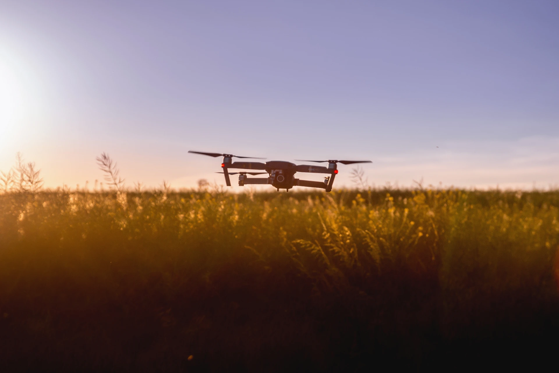
BAY researchers carry out applied research, development and services in the fields of geospatial information, remote sensing and precision agriculture, based on artificial intelligence-enabled analytics. They develop models and decision-support processes using drone, satellite and field data.
The data analytics team specialises in precision agriculture solutions using advanced data analysis methods.
They use drones and satellite imagery to monitor crop health, assess vegetation and produce detailed maps to optimise farming practices. Their services include yield estimation, irrigation support, damage assessment (e.g. in case of drought or wildlife damage) and variable dose application – all designed to increase productivity. The team has expertise in plant biology, agroinformatics, microbiology and analytical chemistry, and offers tailor-made solutions to meet the specific needs of clients. They also develop artificial intelligence-based models to increase the accuracy of analyses, ensuring that recommendations are data-driven and effective. Their comprehensive approach helps farmers make informed decisions, ultimately increasing efficiency and sustainability in farming operations.
More information is available on the following subpage:
https://biogeo.bayzoltan.hu/DataAnalyst/AgriCulture_HU/index.html
Contacts
For more information on the above services, please contact us at:
Dr. Gergely Kitka
Team leader

