Team leader
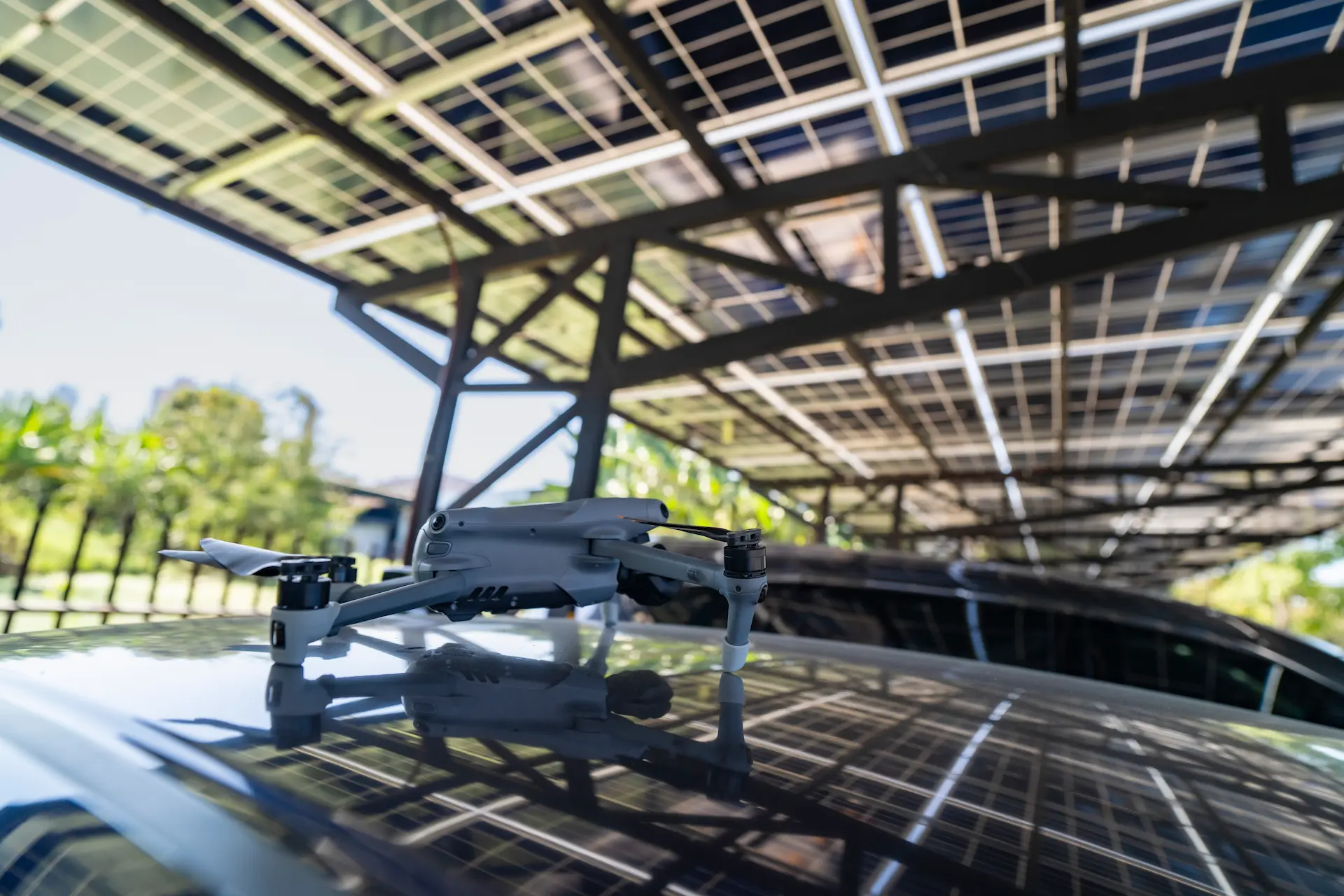
They support environmental assessment and monitoring of mines, solar power plants and industrial facilities through a geospatial approach and drone data collection.
High-resolution orthophotos and 3D surface models are used to make accurate volume calculations to track changes in material piles (e.g. tailings piles, raw material dumps).
For solar power plants, drone imagery provides the opportunity to regularly assess shading, panel condition and environmental conditions. Their machine vision-based time-series analysis objectively documents environmental changes, such as vegetation degradation, which may indicate the spread of contaminants. In remediation projects, they evaluate the impact of interventions by comparing surveys at different points in time. Spatial and data-driven analyses provide effective decision support for monitoring environmental status and planning interventions.

